

Within the framework of the PRIMA NexusLabs, a training course entitled “UAV Remote Sensing for Agriculture” was successfully delivered by the Remote Sensing and GIS Group of the University of Castilla-La Mancha (UCLM), in collaboration with Cadi Ayyad University.
The course included a hands-on field session in Marrakech focused on UAV flight operations and real-world data acquisition.
The main objective of the training was to strengthen participants’ technical capacities in the use of Unmanned Aerial Vehicles (UAVs) for agricultural monitoring. The course combined theoretical concepts with practical applications, covering UAV flight planning, image processing, radiometric calibration, computation of agronomic indices, and hands-on data exploitation.
The training was delivered by a team of experienced instructors from UCLM: Antonio Jesús Molina Medina, José González Piqueras, Juan Manuel Sánchez Tomás, Joan Miquel Galve Romero, and Álvaro Sánchez Virosta. The practical flight operations session was led by M. Elhafyani and A. Saddik from Ibn Zohr University (Agadir).
Theory combined with hands-on practice
The course was structured into four complementary modules:
- Module 1 (29/10/2025, online) introduced UAV platforms and flight planning strategies tailored to crop monitoring.
- Module 2 (30/10/2025, online) focused on UAV image processing workflows and radiometric considerations, including calibration and ground control methods.
- Module 3 (04/11/2025, online) addressed the calculation and interpretation of agronomic indices for agricultural applications.
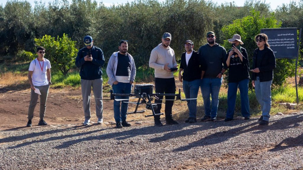
- Module 4 (14/11/2025, Marrakech) consisted of a hands-on field session dedicated to UAV flight operations and real-case data acquisition.
The training, which was attended by 9 participants, provided a comprehensive understanding of UAV-based remote sensing for agriculture, enhancing their technical skills and supporting capacity building within the NexusLabs framework.