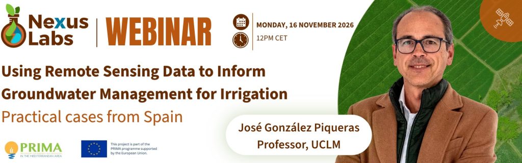
PRIMA NexusLabs Webinar: Remote Sensing Data to Inform Groundwater Management for Irrigation – Practical cases from Spain
Date: Monday, 16 November 2026
Time: 12:00–13:00 CET
Speaker: José González Piqueras, Professor of Applied Physics, University of Castilla-La Mancha (UCLM) & NexusLabs Coordinator.
Addressing a crucial gap in water management
As drought and water scarcity put increasing pressure on agricultural water resources, water authorities need better ways to understand how much water is being used for irrigation, where it is being used, and how this changes over time.
Satellite-based monitoring offers new opportunities to estimate irrigation water use across extensive agricultural areas and strengthen groundwater accounting. But what can satellites actually tell us? How reliable are these estimates, and how can the resulting evidence inform water management in practice?
This PRIMA NexusLabs e-dialogue will explore how remote sensing can help estimate groundwater abstractions for irrigation, drawing on practical cases from Spain. José González Piqueras will explain how the methods work, what the analyses have revealed, how estimates are validated, and what has been learned from applying them in practice.
The webinar will also open up a wider question: how can better information about groundwater use support more informed and effective water management?
What will participants take away?
- Understand what satellites can reveal: How satellite observations, combined with other data, can help estimate irrigation water use and groundwater abstractions.
- Explore real-world applications: What cases from Spain have revealed, how estimates are checked, and what the evidence can and cannot establish.
- Learn what it takes to apply the approach: The data, technical expertise and validation needed to produce useful estimates.
- Reflect on the implications for water management: How better information on groundwater use could support decision-making, coordination and responses to water scarcity.
Who should attend?
Water authorities and river basin managers; irrigation organisations and water-user associations; researchers and practitioners working on groundwater, irrigation, remote sensing and water accounting; policy-makers; and other stakeholders interested in sustainable water management.
About the speaker
José González Piqueras is a Professor of Applied Physics at the University of Castilla-La Mancha (UCLM), where he leads the Remote Sensing and Geographic Information Systems (TySIG) research group. His work includes applying satellite data and geographic information systems to agricultural and water management, including the ERMOT initiative supporting the monitoring of irrigated areas and water use in the Mancha Oriental aquifer.
Organised by: GWP-Med within the PRIMA project NexusLabs: Nexus Living Labs for Multi-Level Innovation in Mediterranean Irrigated Agriculture, in collaboration with the PRIMA WEFE4Med Community of Practice